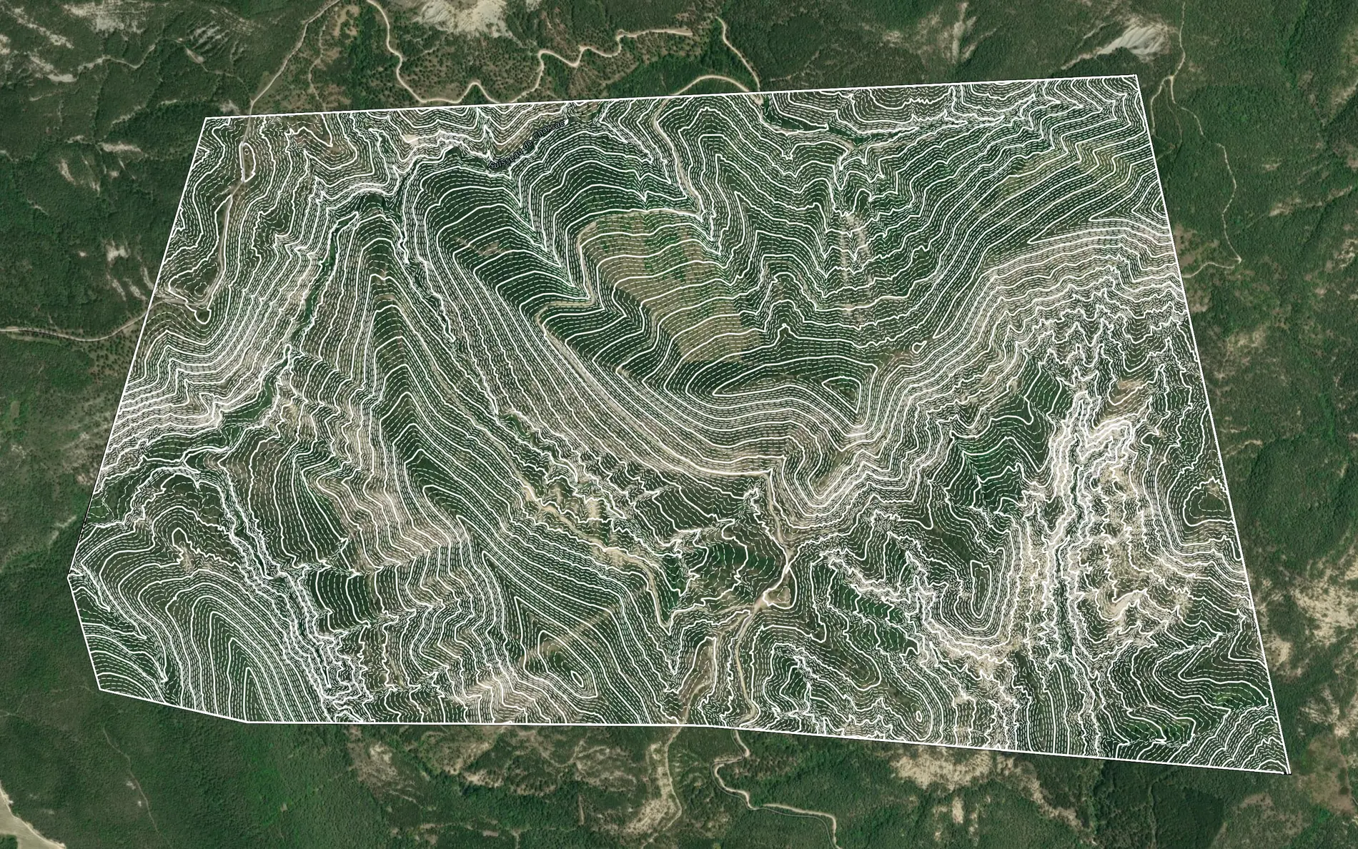
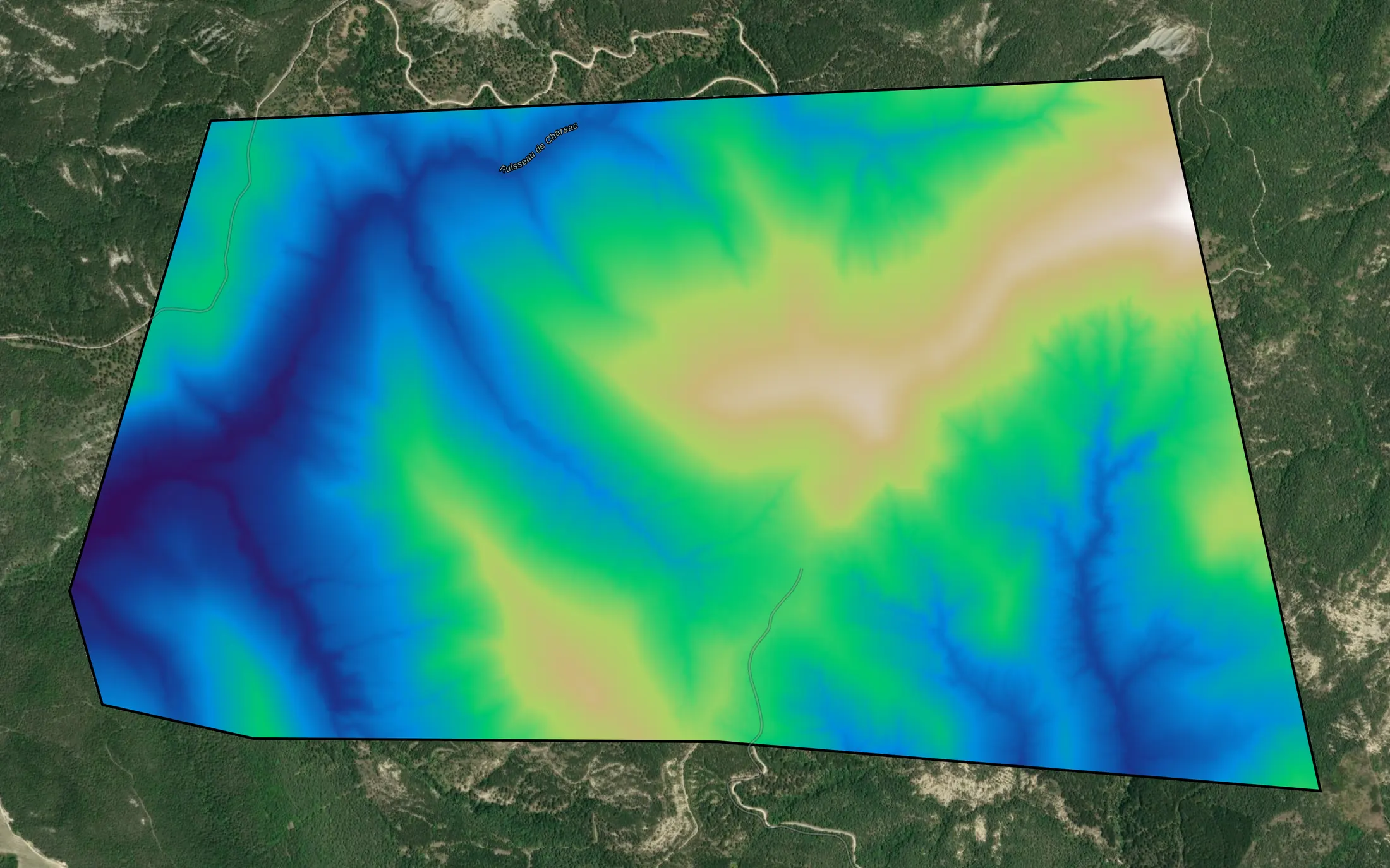
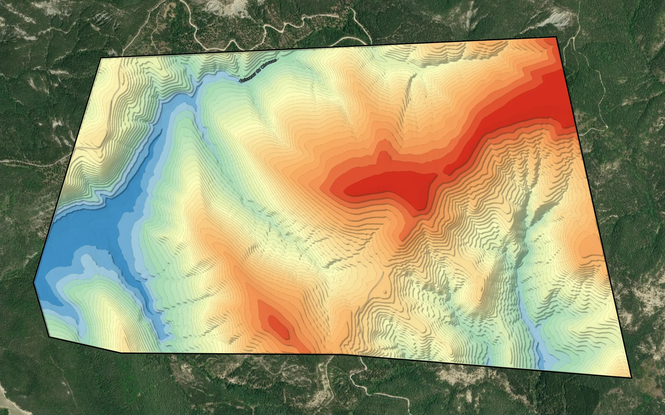
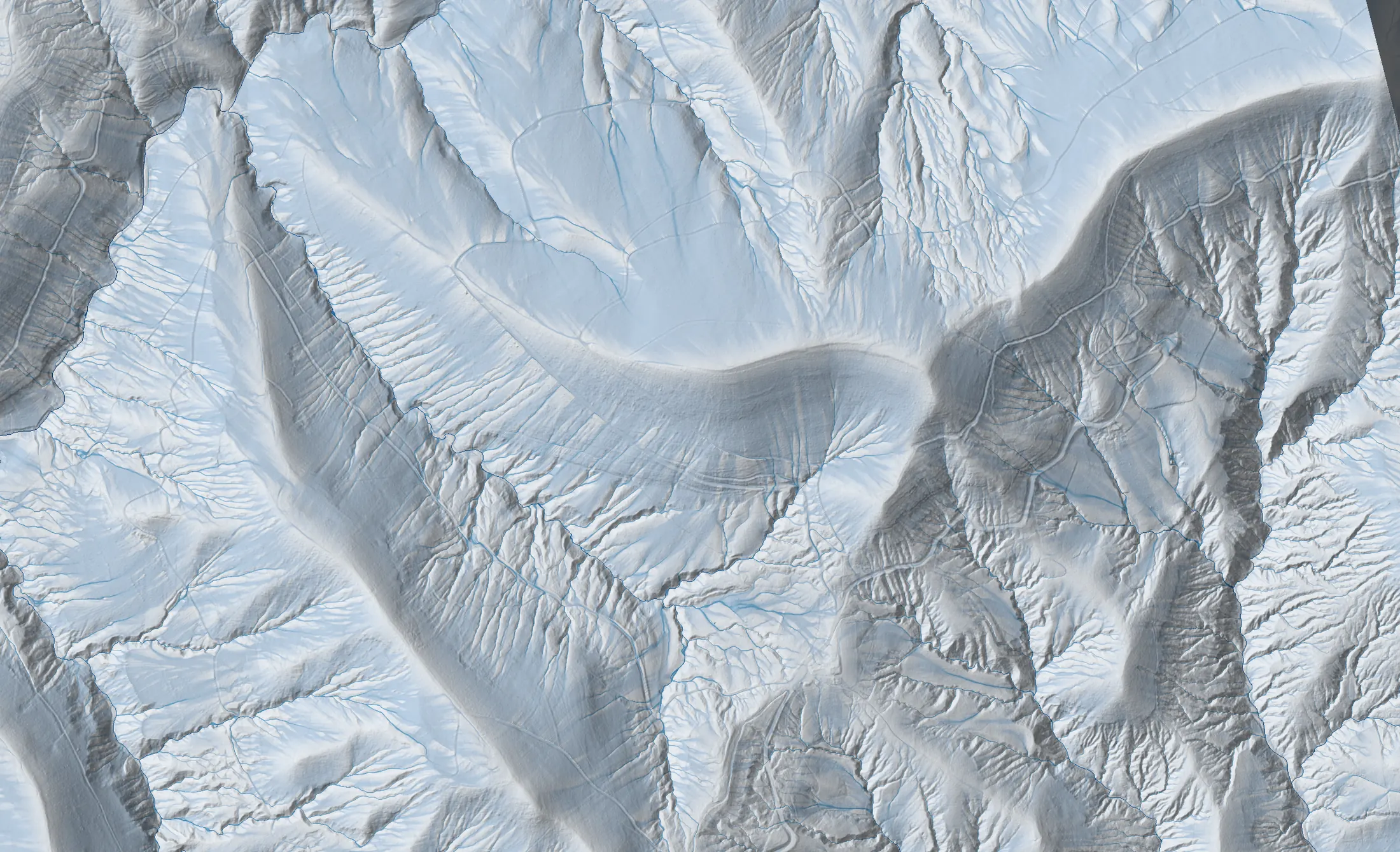
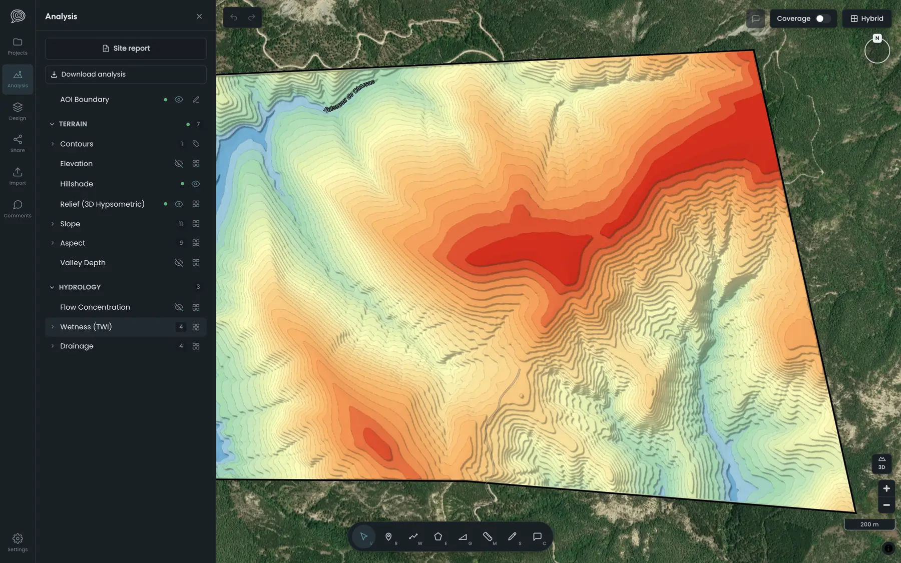
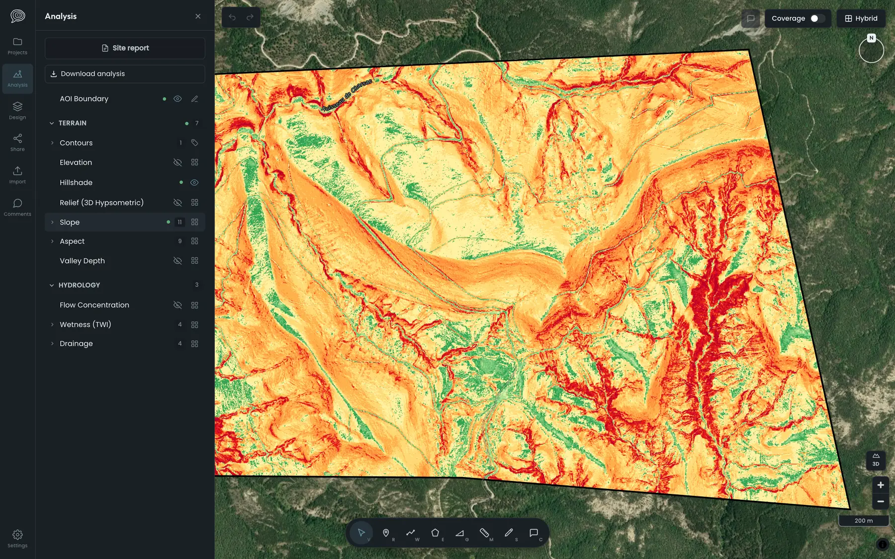
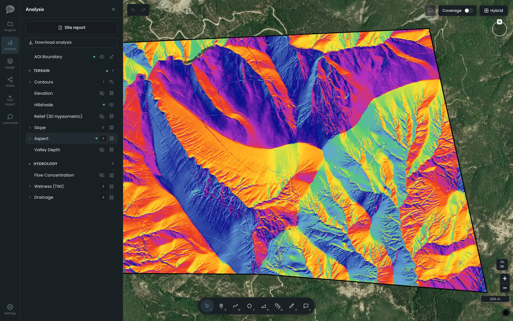
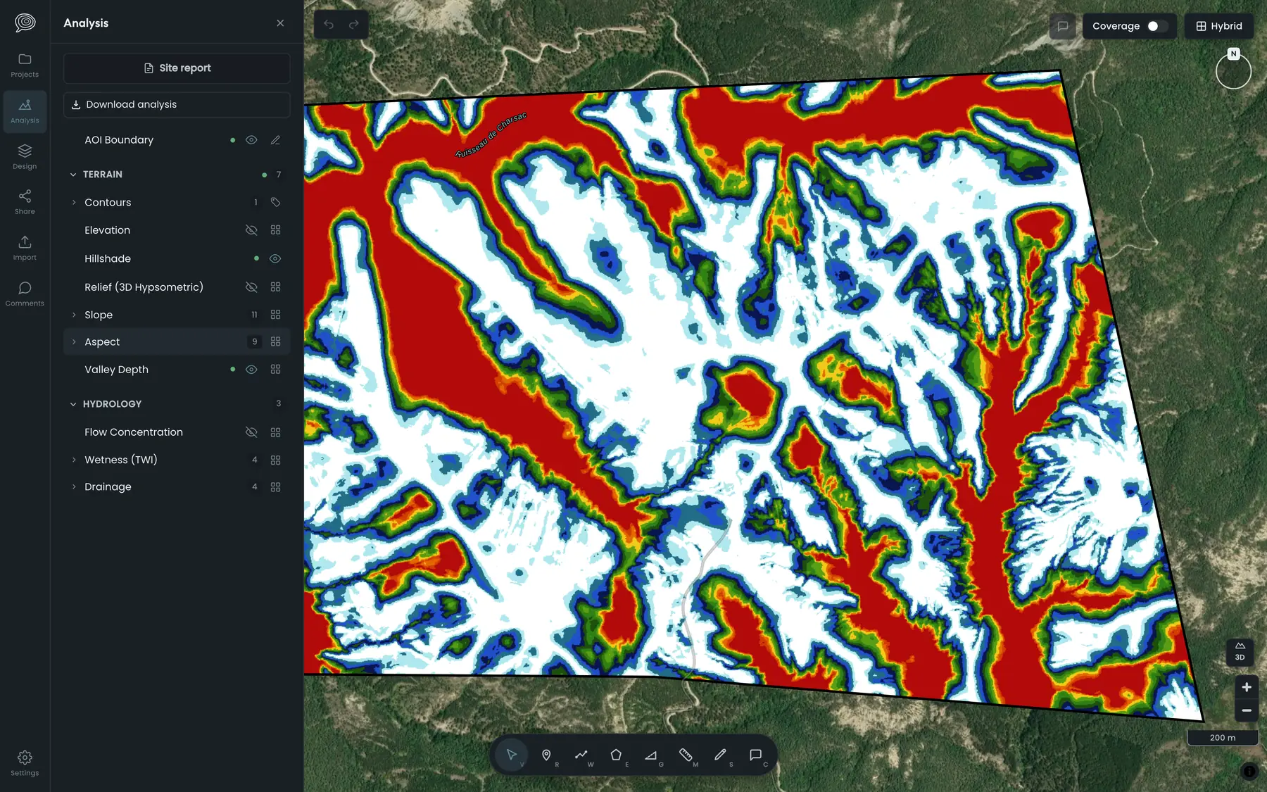
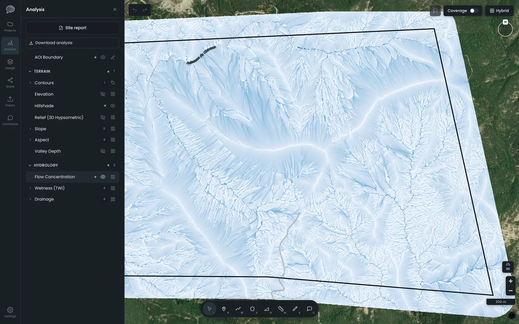
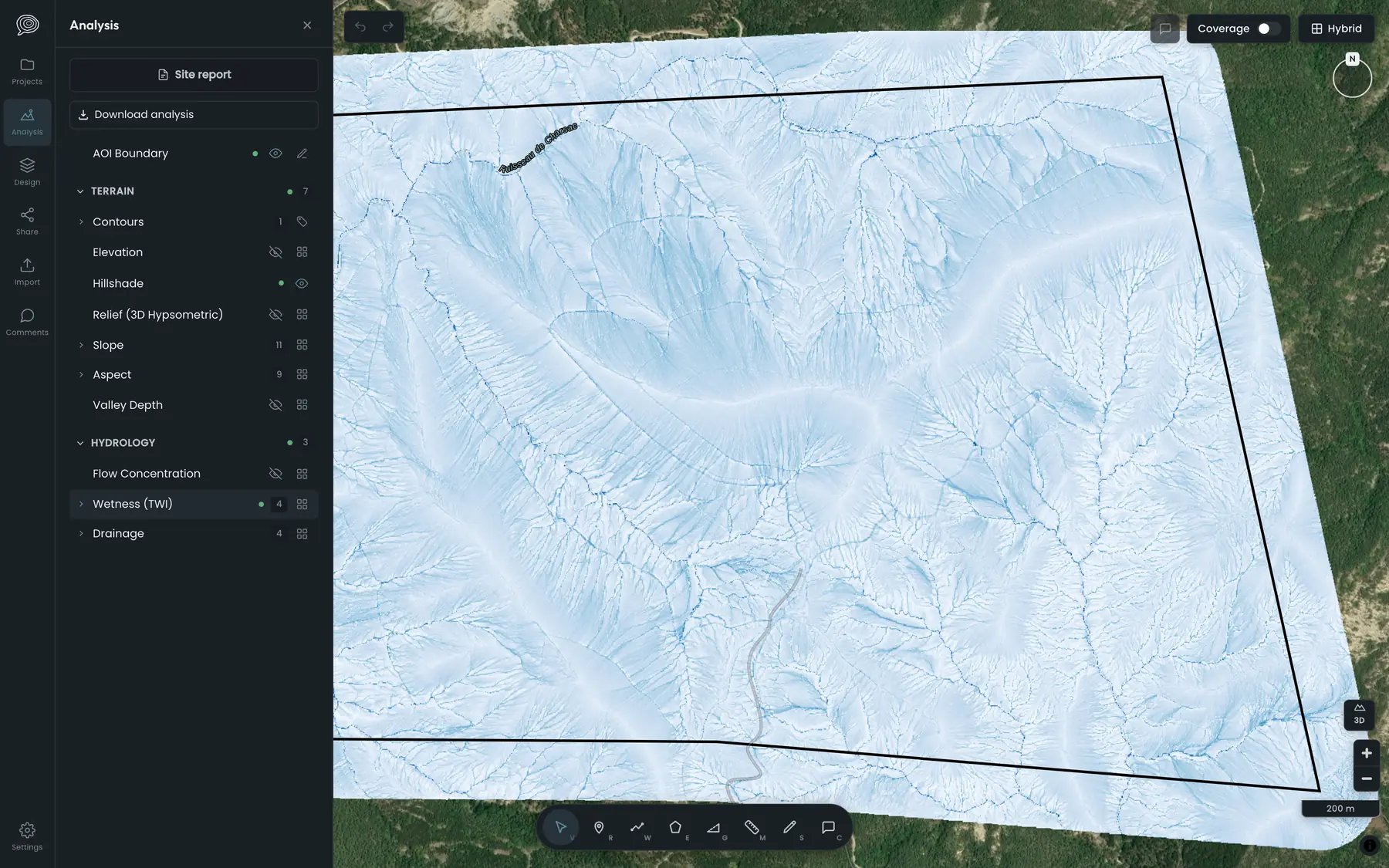
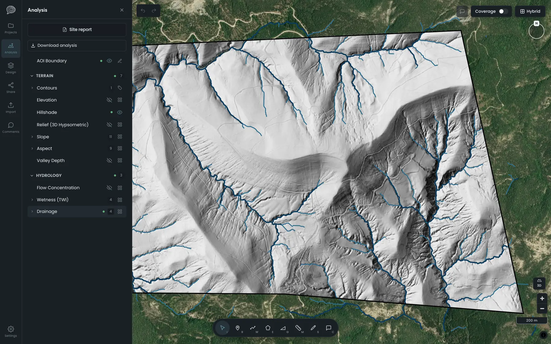
Three-metre contours over satellite imagery of a 463-hectare site in the Drôme Elevation over hillshade on the same site 3D hypsometric relief on the same site Water flow concentration on the same site
Contours
Three-metre interval

Read the land's story,
then design the next chapter

A suite of intuitive design and grading tools over high-resolution LiDAR analysis in a browser-based platform.

Read the land. Then design on it.

01

Fetch

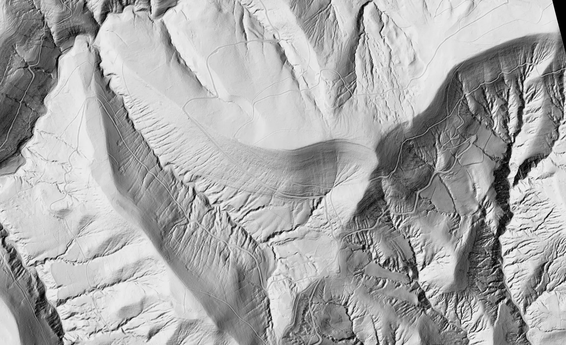
Draw your site boundary. We’ll do the rest. Where national LiDAR data is available, Groundtell automatically finds, clips and processes it for your site in minutes. No downloads, data wrangling or complicated workflows to learn.
02

Read

Understand how your land is laid out. Explore contours, slope, aspect, water flow and more through clear, intuitive overlays. Turn complex terrain data into something you can actually read.

03

Design

Turn what you’ve learned into a design. Start with your analysis or jump straight into the design tools. Use a mix of familiar and novel tools to test ideas, iterate and refine your plans before the excavators roll in.

04

Deliver

Bring everyone into the process. Plans are rarely decided in isolation, so Groundtell makes it easy to collaborate with clients, colleagues and contractors. When you’re ready, share a link to the project or export your analysis and designs to the tools you already use, in a range of formats.

Everything you need. Designed to work the way you expect.

The same set of tools whether you are mapping your own place or laying out four hundred hectares.

  • Snapping
  • Undo, always
  • Autosave
  • Geodesic measure
  • Live dimensions
  • Vertex editing
  • Offsets
  • Buffers
  • Arrays
  • Layer presets
  • 3D view
  • Place search
  • Comments
  • Share links
  • KML import

From boundary to plan

  1. 1

    Draw your boundary

    Trace the ground on a map, or drop in a parcel file. The app answers straight away whether the national survey covers it, and at what resolution.

  2. 2

    The LiDAR arrives analysed

    We fetch the national survey, clip it to your line and run the whole stack in that country's own metric grid. Up to 500 hectares, in minutes.

  3. 3

    Design on the layers

    Draw on the analysis rather than beside it. Presets for what you're building, live length and grade, and the ground profile under anything you pull.

  4. 4

    Send the share link

    A client opens it in a browser — no account, no software, nothing to install. Or export the lot to CAD, GIS, Google Earth and the tractor.

Help Shape Groundtell From the Ground Up

Groundtell is currently in alpha. We’re inviting a limited number of founding users to help shape the platform from the ground up. Founding users get access at a preferential rate in exchange for honest feedback and, if Groundtell earns it, a testimonial.

Submit your interest to join the first cohort.

Your site has already
been surveyed.

Find out what the land has to say.

Get Early Access